Parker Bennett · 11 October 2026
Tracking Biodiversity Shifts Through Volunteer Networks in Mid-Sized European Cities
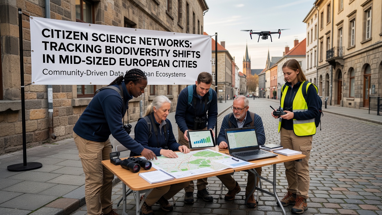
Volunteer networks have expanded across mid-sized European cities where residents collect and share observations of local flora and fauna through standardized digital platforms, and these efforts generate datasets that reveal changes in species presence and abundance over multiple seasons. Cities such as Lyon, Utrecht, and Porto host active groups that coordinate with academic institutions to monitor shifts driven by temperature variations, habitat fragmentation, and green space management practices. Data collection occurs year-round yet intensifies during spring and autumn migration periods when participants focus on birds, pollinators, and aquatic invertebrates.
Core Methods and Tools in Use
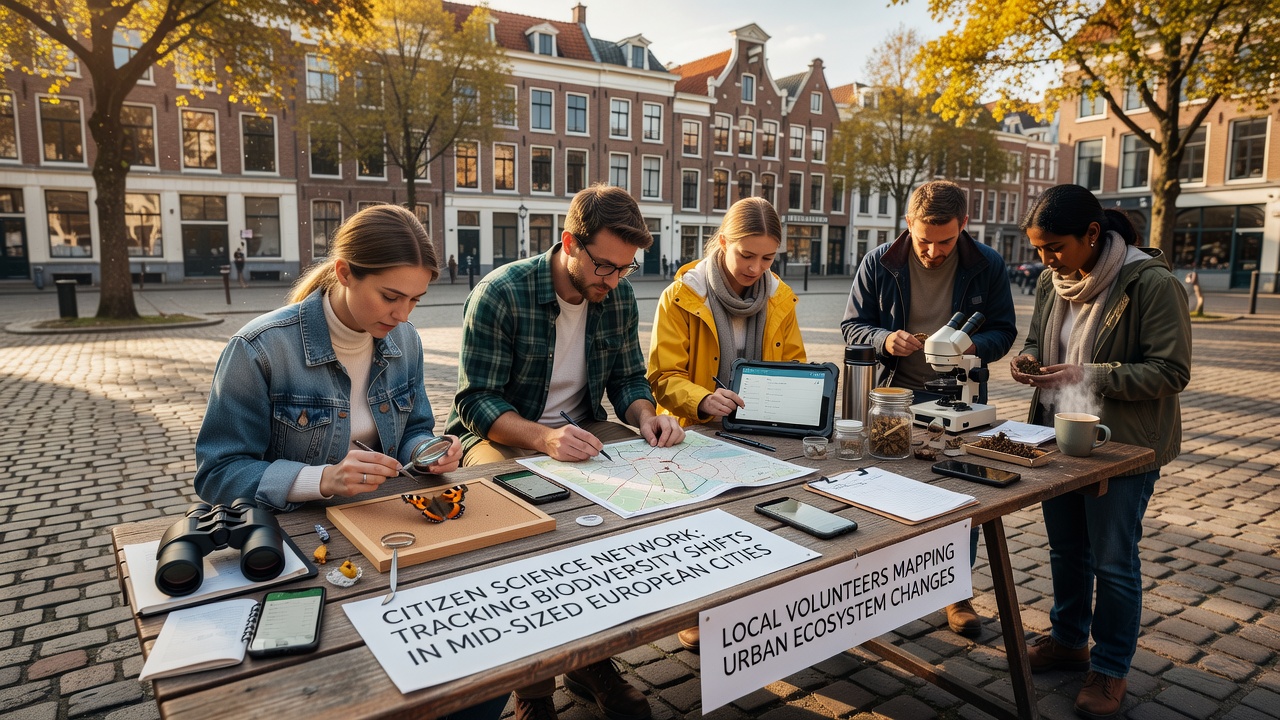
Participants rely on applications that include built-in identification aids and location tagging so that each record meets quality thresholds required for scientific validation, and project coordinators review submissions before they enter centralized databases. In many cases, simple transects along rivers or through parks guide sampling efforts while protocols require photographs and notes on weather conditions at the time of observation. Training sessions occur at community centers and universities where experts demonstrate how to distinguish between similar species and how to avoid common recording errors that could skew trend analyses.
Key Networks and Regional Coverage
One established program in Lyon connects university researchers with neighborhood associations to track changes in urban tree health and associated insect communities, while a parallel initiative in Utrecht emphasizes amphibian populations in restored wetlands on the city outskirts. Observers note that these projects often share data formats which allow cross-city comparisons, and the resulting maps highlight corridors where certain species persist despite surrounding development pressures. Additional groups operate in cities like Graz and Tampere, each adapting core methods to local conditions such as alpine influences or boreal forest edges.
Data Patterns Observed Through 2026
Records compiled through October 2026 indicate measurable northward movements of certain butterfly species within several mid-sized cities, and parallel increases appear in the frequency of warm-adapted plant species along riverbanks and railway embankments. Researchers have compiled these findings into annual reports that compare current distributions against baseline surveys conducted five to ten years earlier, and the analyses point to correlations with average temperature rises recorded by national meteorological services. In some locations, declines in native pollinator counts coincide with expansions of non-native ornamental plants in private gardens, creating mixed habitats that support both groups at varying densities.
Integration With Official Monitoring
Municipal environmental departments increasingly incorporate citizen-generated records into planning documents because the volume of observations exceeds what professional teams alone could gather, and the spatial coverage extends into residential zones that official surveys rarely reach. Partnerships with the European Environment Agency have standardized certain metadata fields so that city-level findings feed into broader continental assessments without loss of resolution. At the same time, academic teams at institutions such as the University of Copenhagen refine statistical models that weight volunteer data according to observer experience and sampling effort, which improves reliability for policy applications.
Challenges in Sustaining Participation
Retention of volunteers remains an ongoing concern because initial enthusiasm often wanes after the first season, and coordinators address this through gamified elements, public recognition events, and feedback sessions that demonstrate how individual records contribute to published studies. Data validation consumes significant resources when large numbers of submissions arrive during peak activity periods, yet automated filters combined with expert spot-checks maintain acceptable accuracy rates. Funding cycles tied to short-term grants create uncertainty for long-term projects that require consistent staffing to maintain momentum across years.
Future Directions and Expansions
Plans for 2027 include deployment of low-cost sensor arrays that complement visual observations with continuous measurements of soil moisture and light levels, and several networks intend to pilot these tools in partnership with technology firms already active in smart-city infrastructure. Cross-border data exchanges are expected to increase as more platforms adopt open standards, allowing researchers to trace species movements that cross municipal and national boundaries. Workshops scheduled in multiple cities will train new participants on emerging protocols that incorporate acoustic monitoring for bats and nocturnal insects, broadening the range of taxa covered beyond the current focus on daytime sightings.
Conclusion
Volunteer networks have established a practical framework for documenting biodiversity dynamics in mid-sized European cities where professional monitoring capacity remains limited, and the accumulated records now support evidence-based decisions on green infrastructure and climate adaptation measures. Continued refinement of tools, training, and data integration practices will determine how effectively these community efforts scale in coming years while maintaining scientific standards.